The section headings for this document were derived from real news headlines reporting on the natural disaster. Each heading reflects the specific events and impacts associated with the disaster, as highlighted in the media coverage.
The captions accompanying the images were crafted based on the descriptive text either displayed directly on the photographs or included alongside them. These captions aim to provide context and enhance the reader’s understanding of the images presented. Relevant information and insights have been added as footnotes in addition to the main text. These footnotes serve to clarify points made in the text, provide additional details, and cite sources where appropriate, thereby enriching the overall content. disaster, as highlighted in the media coverage.
Individual images may be clicked on for an enlarged lightbox view.
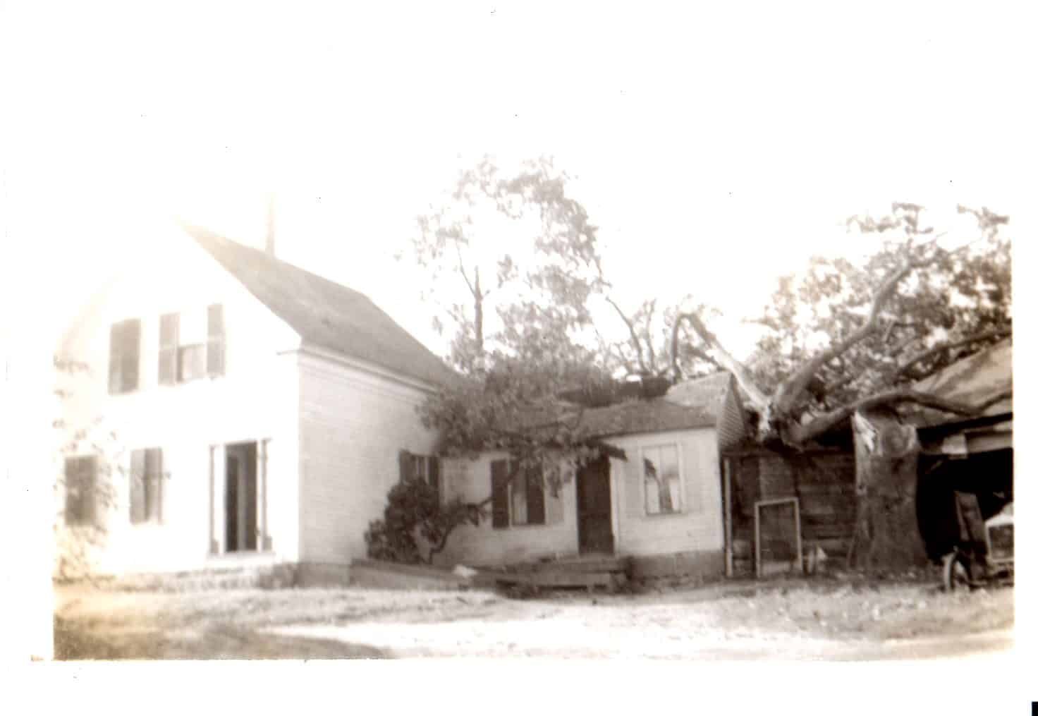
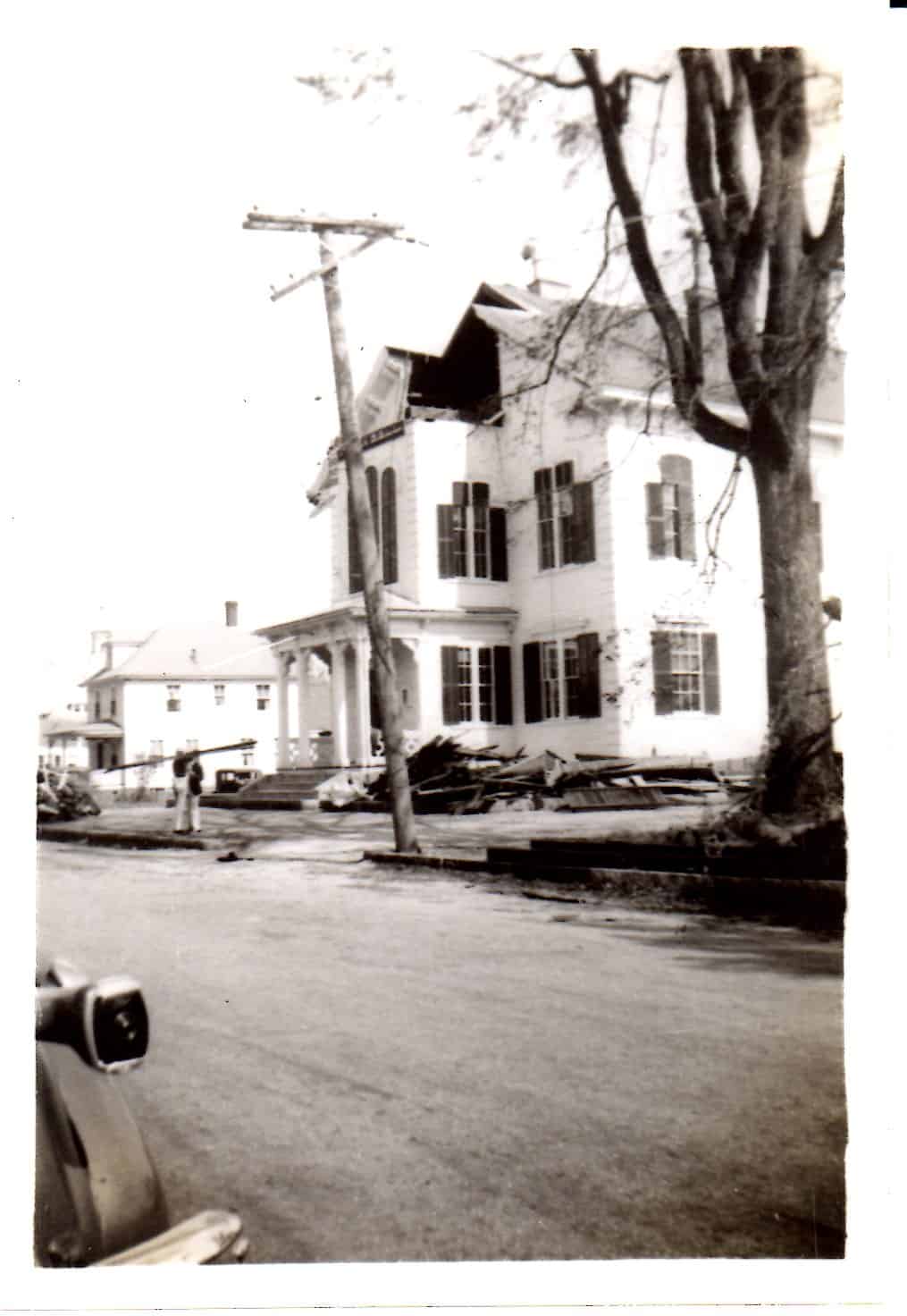
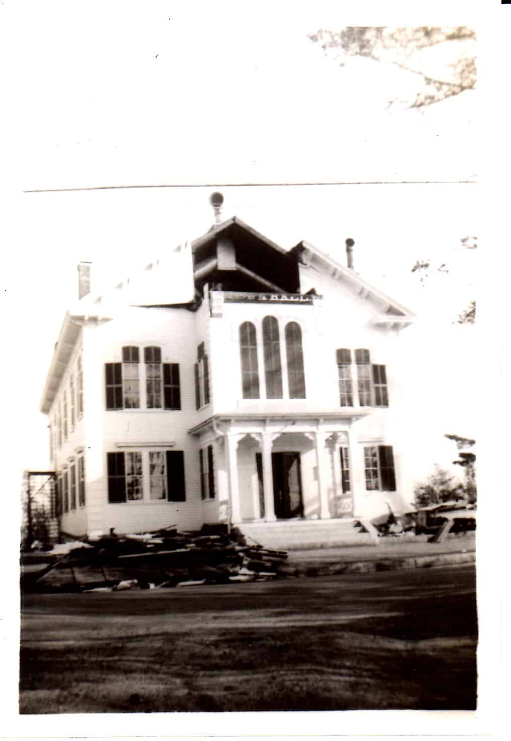
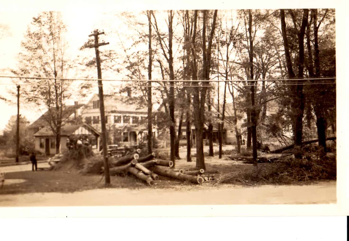
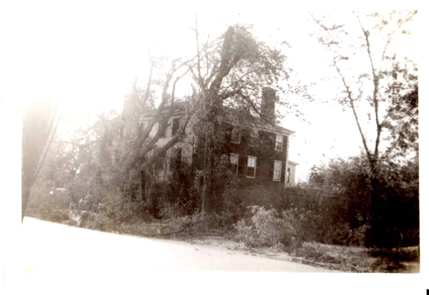
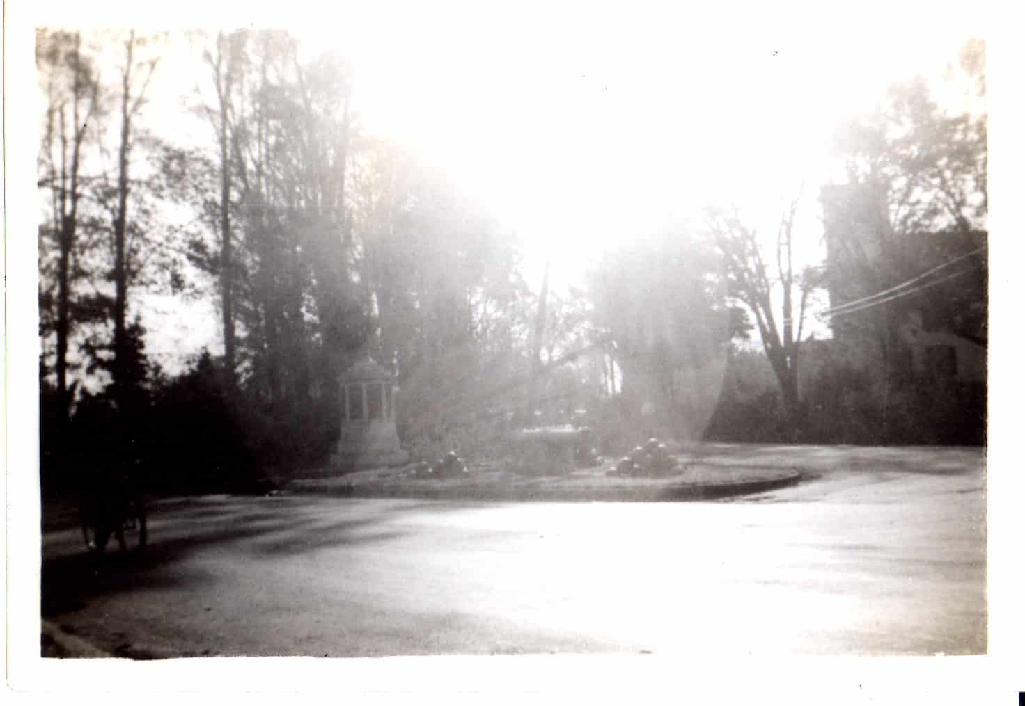
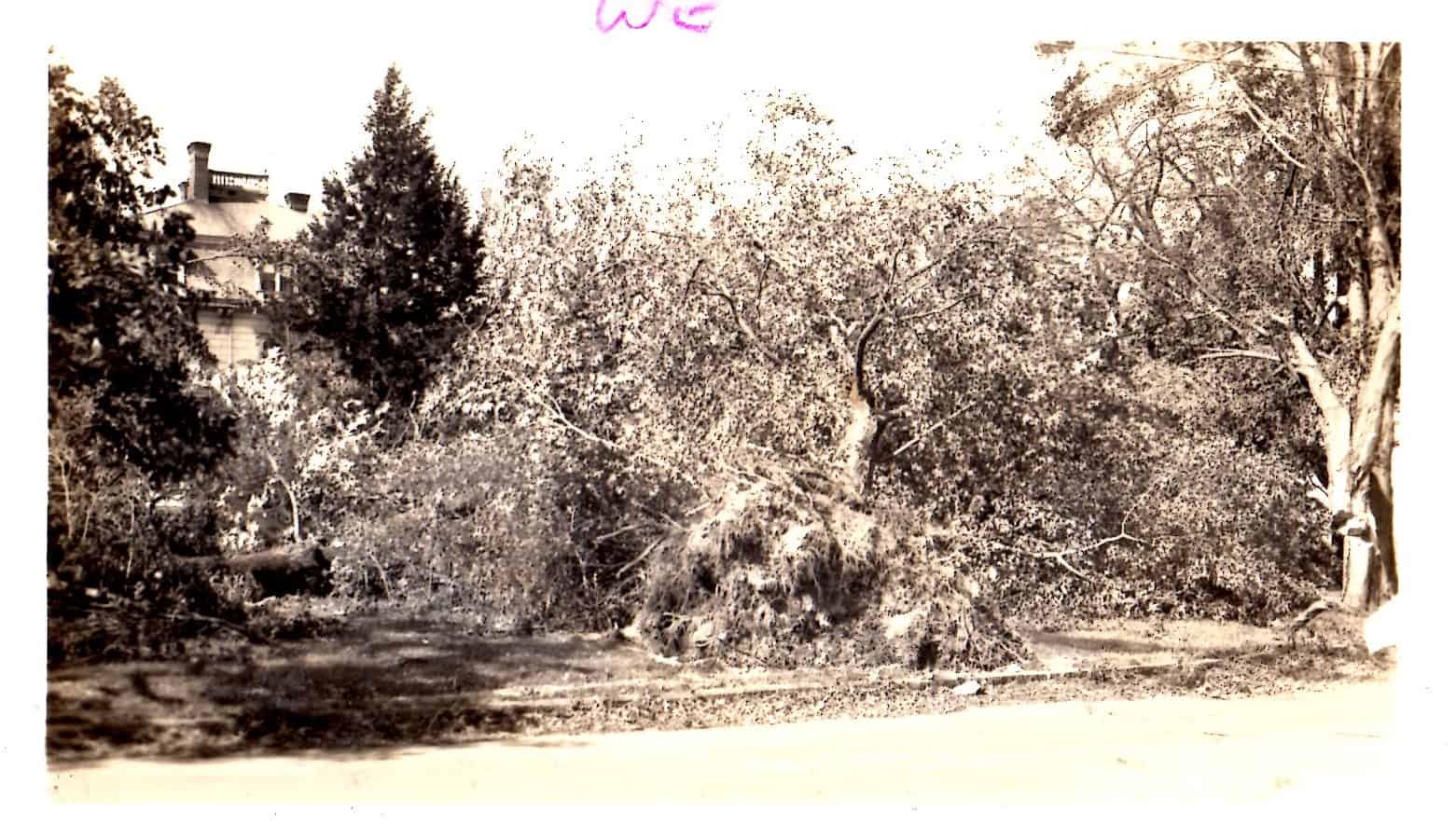
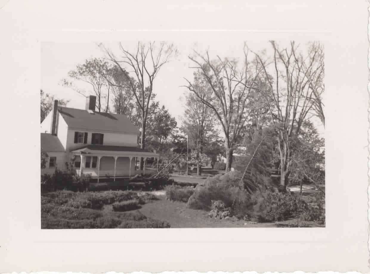
Hurricane as it may have looked from spaceOld Thompson home, Main St, GranitevilleTown Hall & Westford CenterTown HallPost office at Town Center, opposite libraryHouse at Westford CenterWestford Center(Common)Photos Not Accessioned
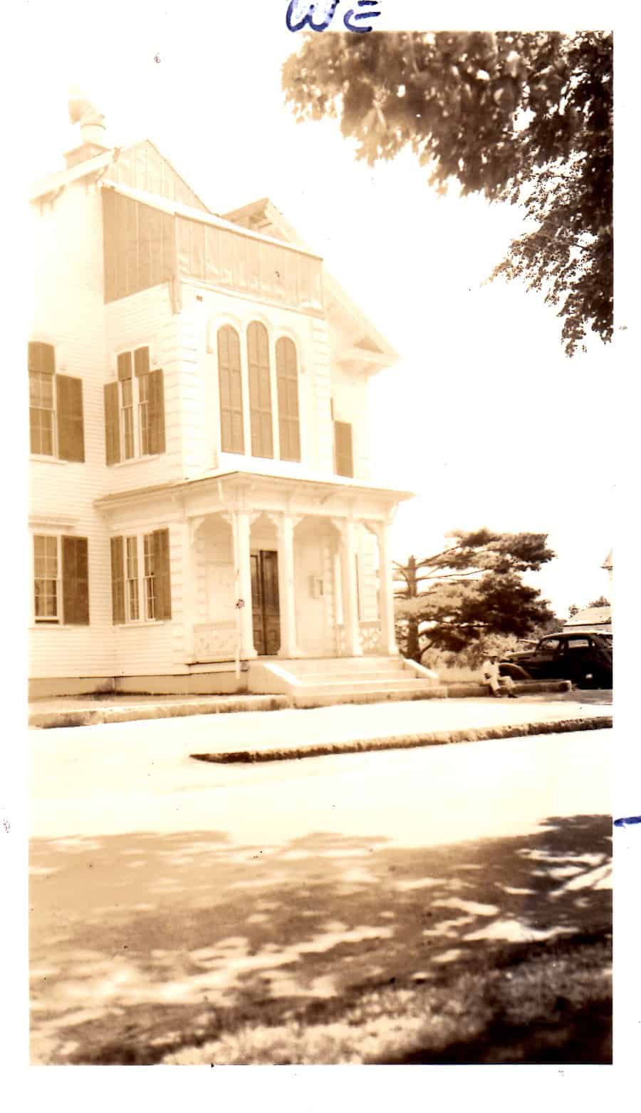
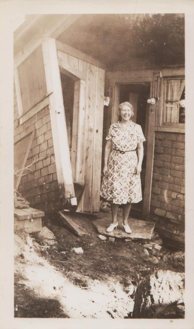
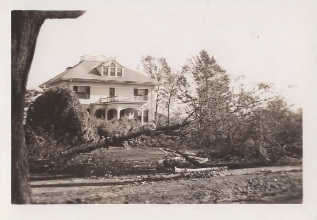
Photo of Albert R. Hall residence, GranitevilleW.1998.73.1q
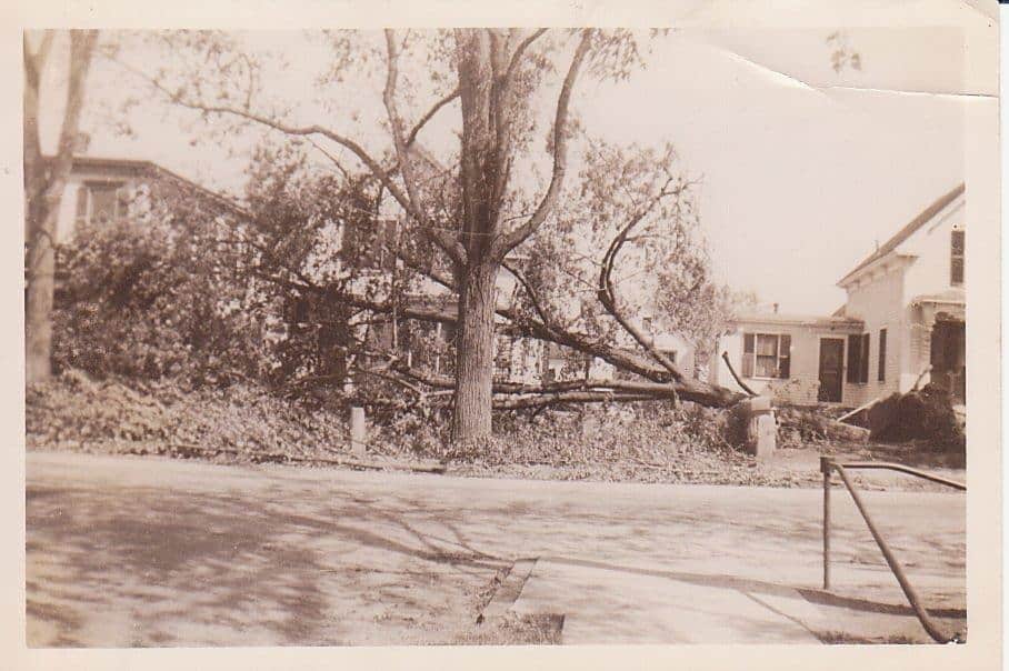
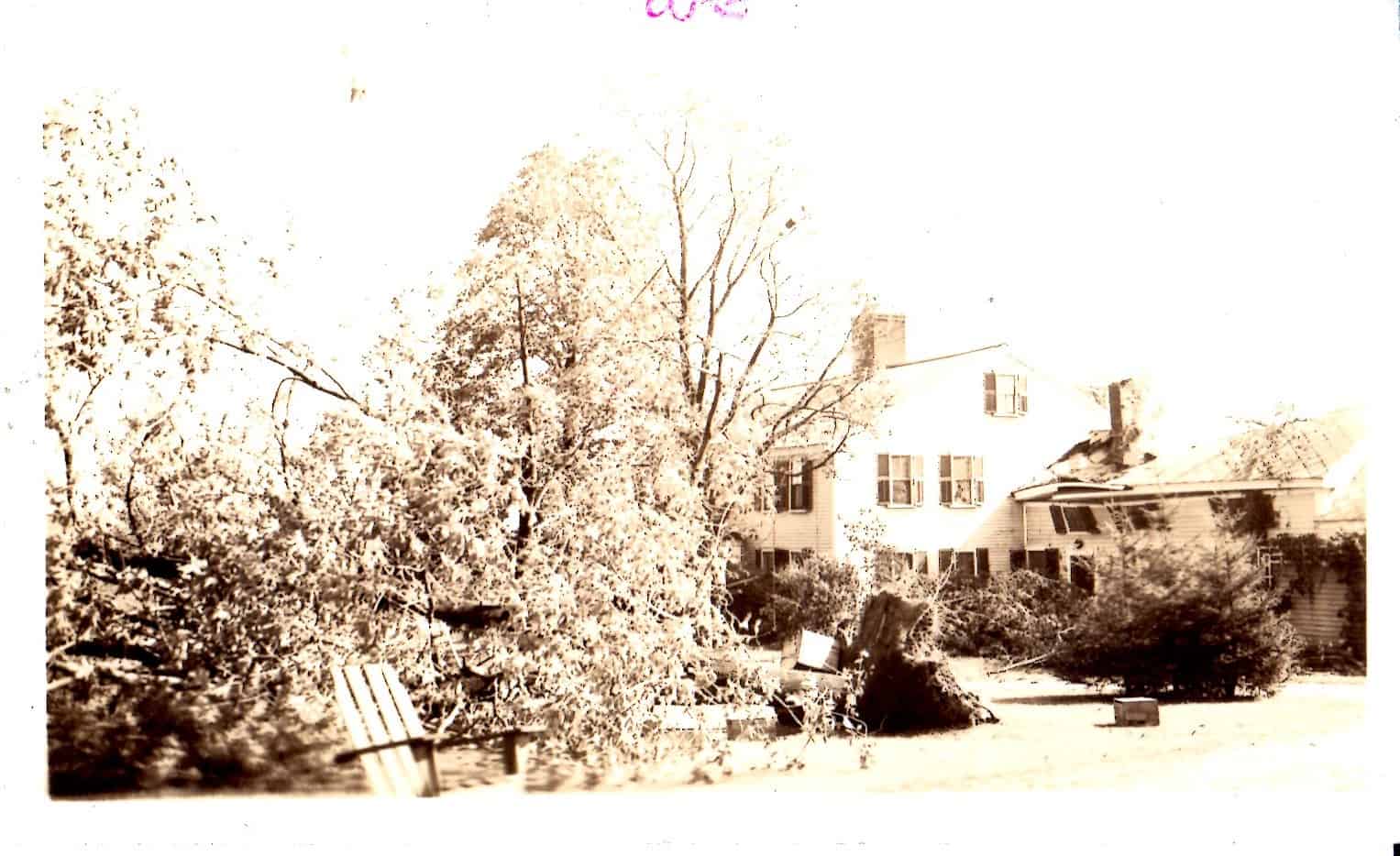
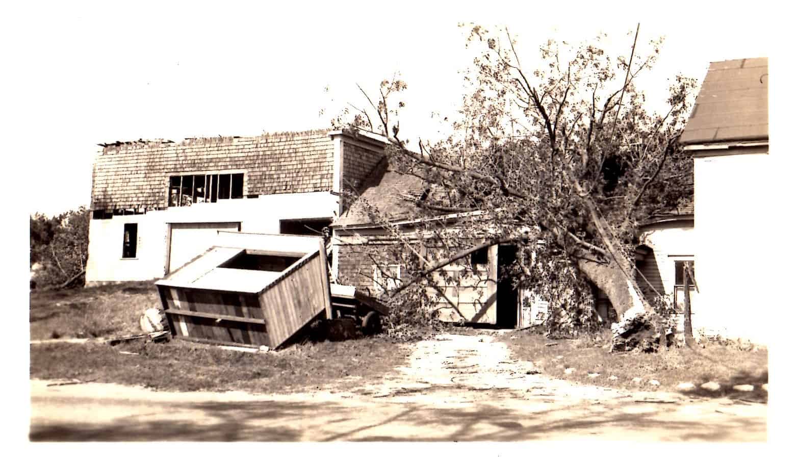
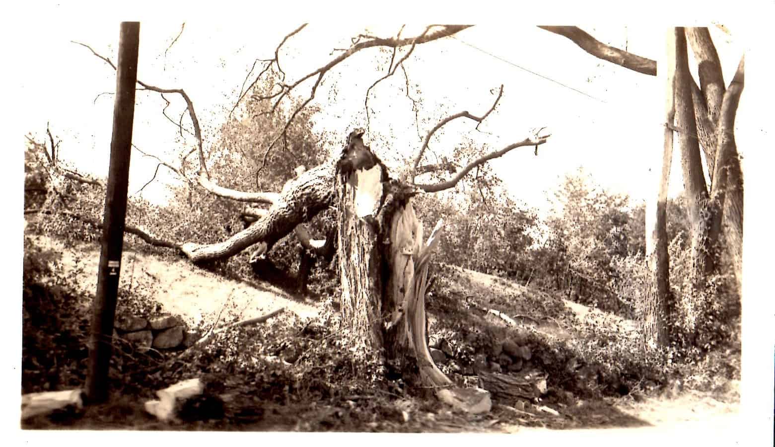
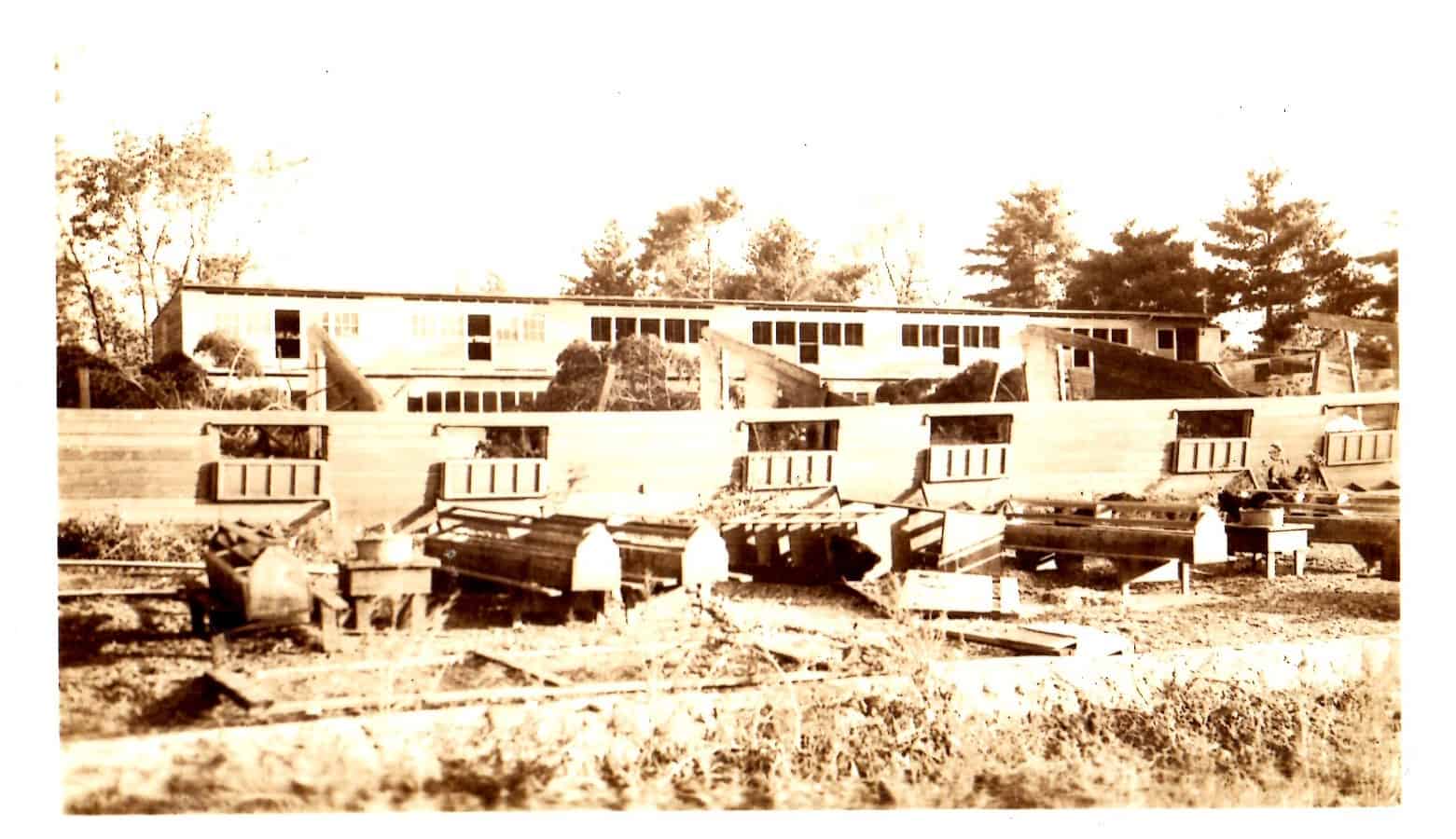
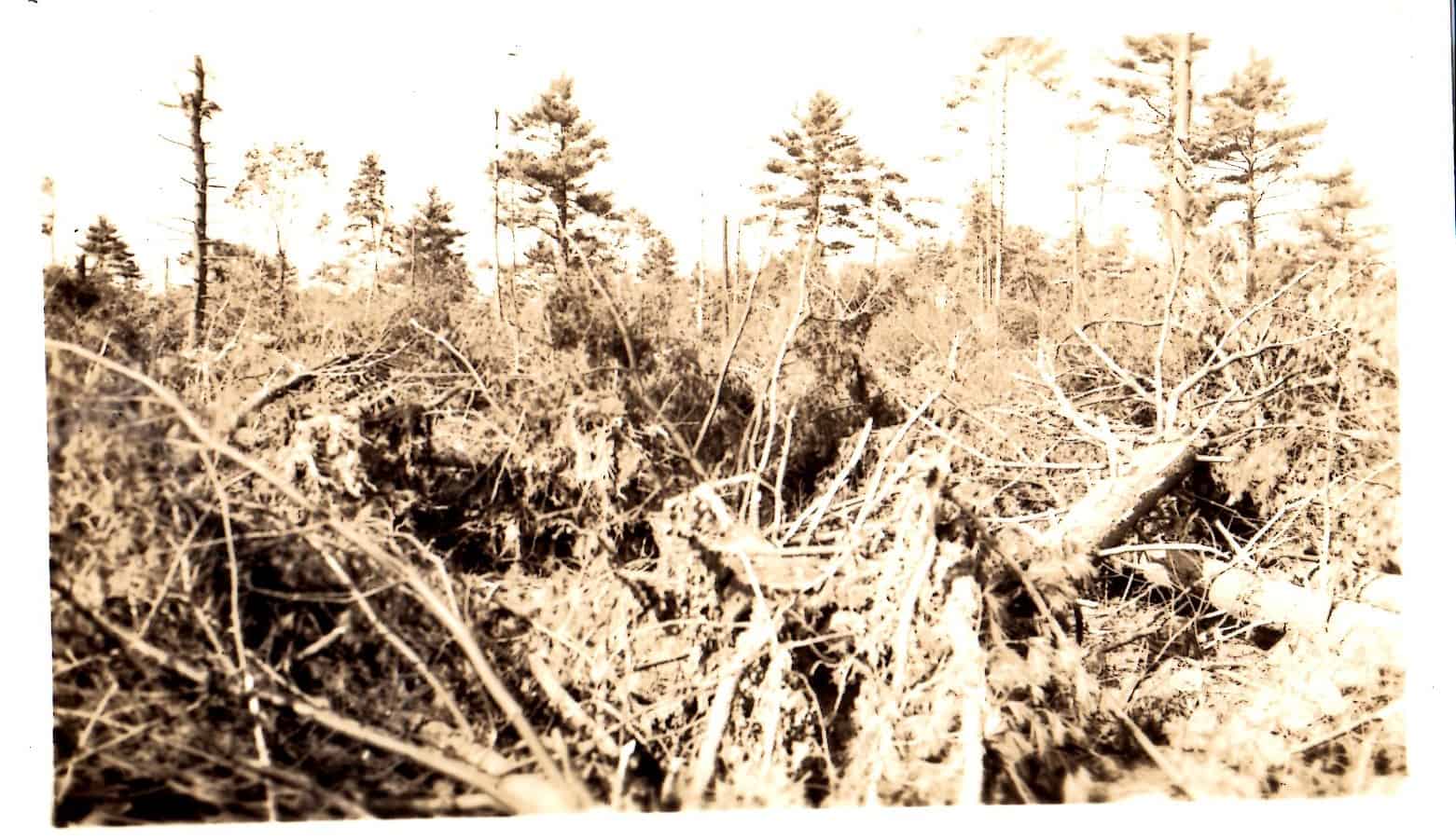
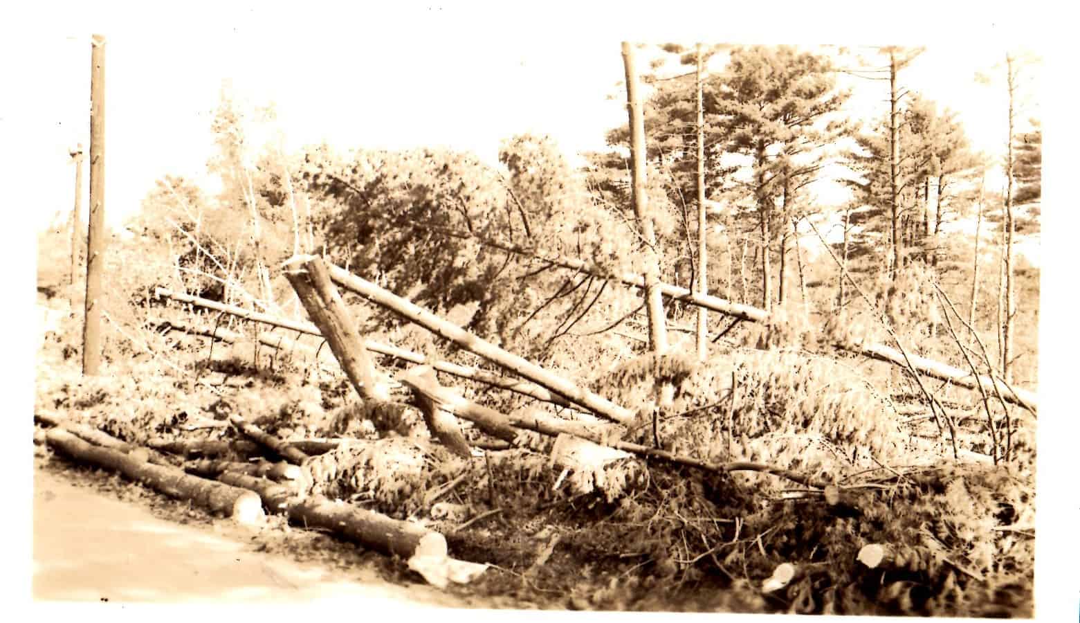
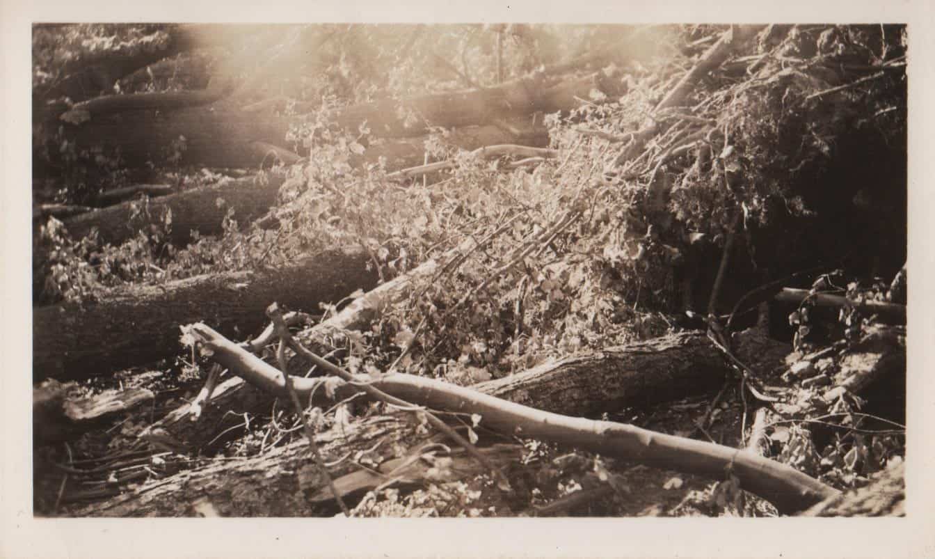
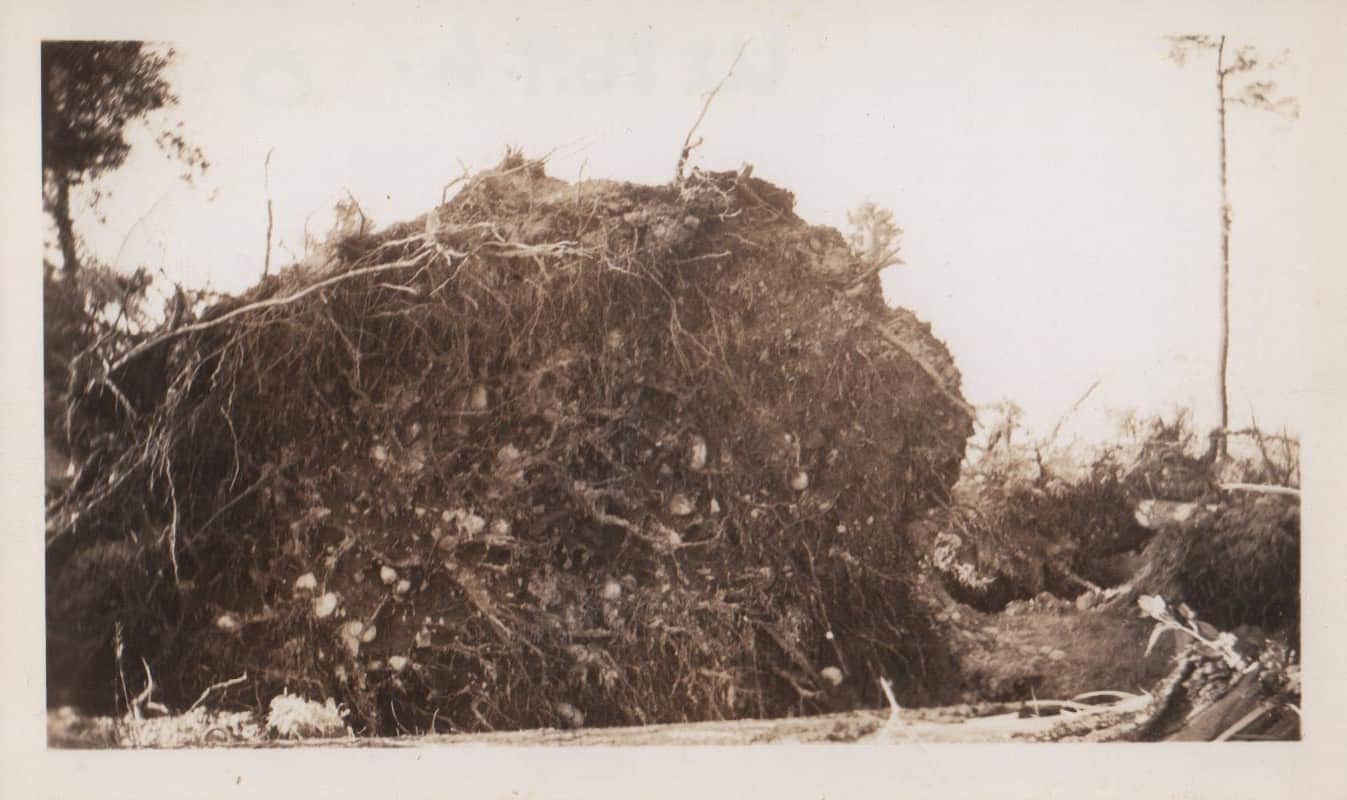
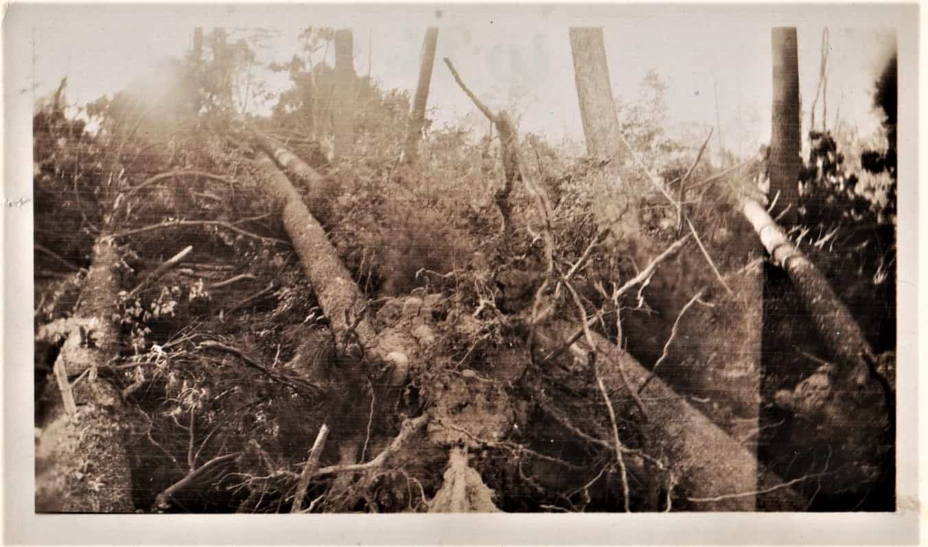
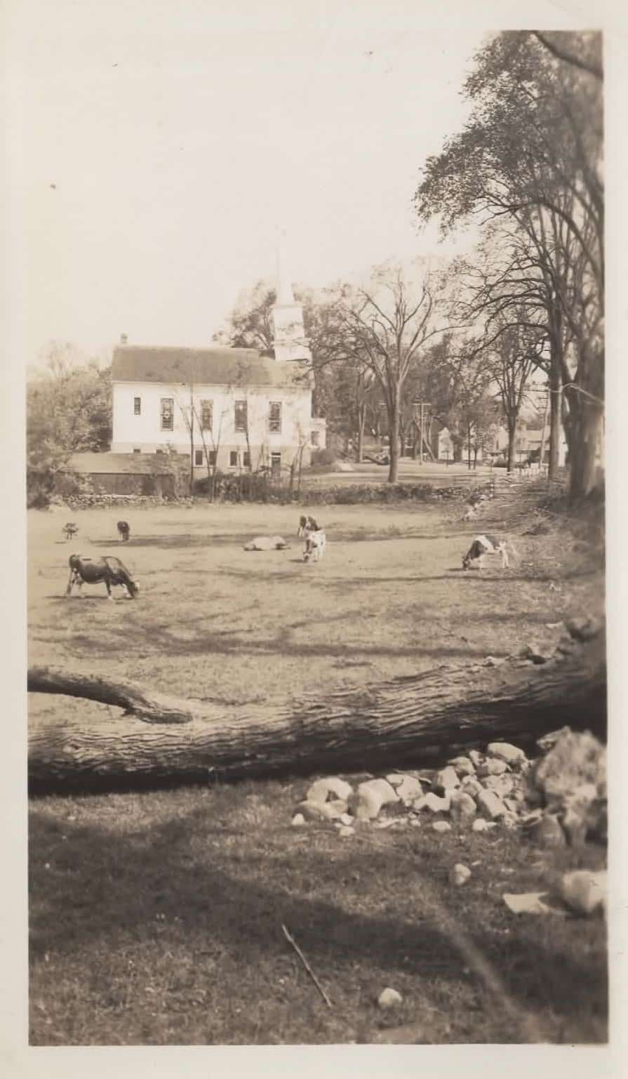
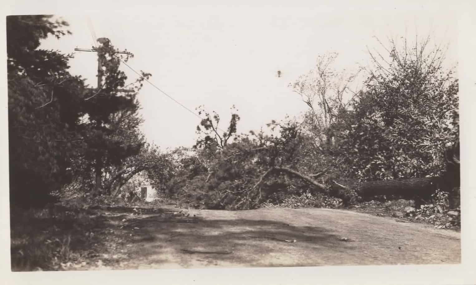
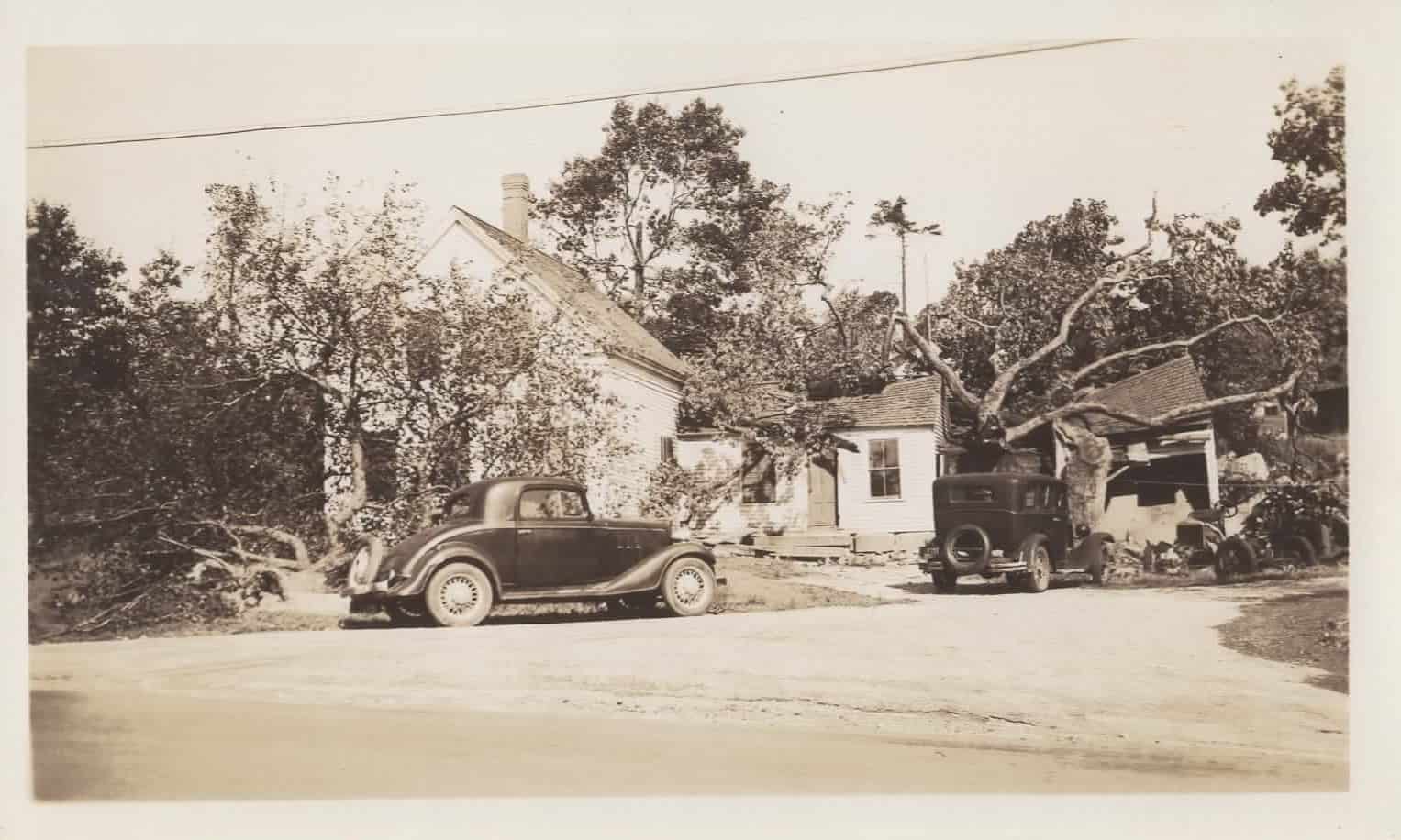
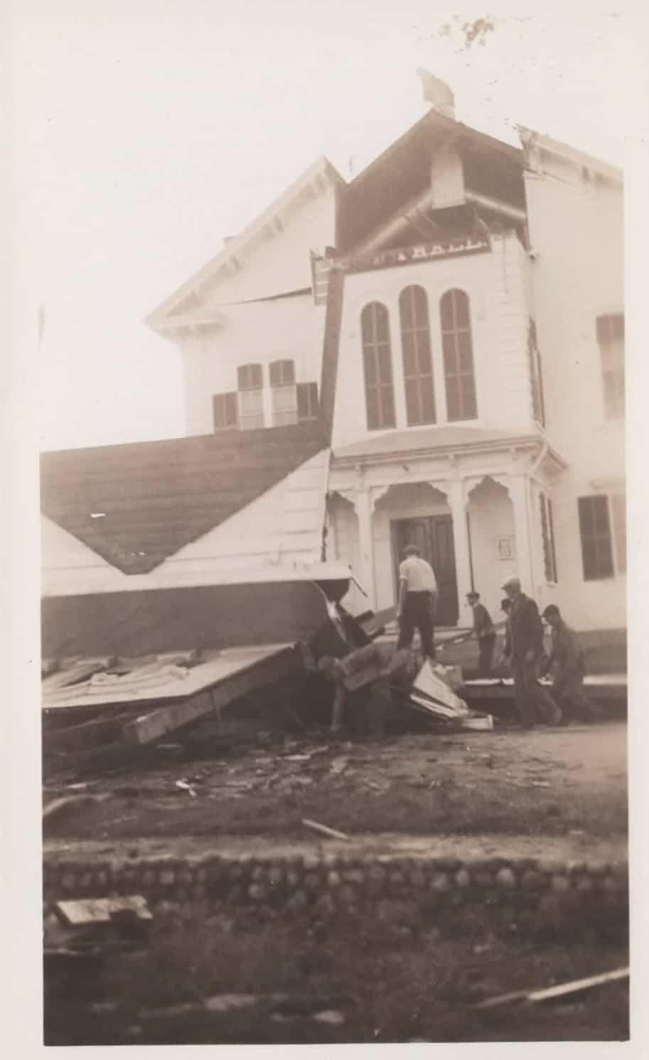
63 Main St1Kimball Farm2Town Hall, partial repairsBuilding at Minot’s Corner3Downed trees24 Main St (Captain John Abbot House)Damages to Otis’ henhouse, near Minot’s CornerDowned trees at Beaver Brook RdDowned trees at Beaver Brook RdFrom Day Collection, Not Accessioned
More Info 1: The Donald Cameron House was heavily damaged by fire in 2017 and purchased by town in 2018 2: Almost half the Kimball Farm building was destroyed 3: Minot’s Corner is also known as Four Corners and Cornerstone Square
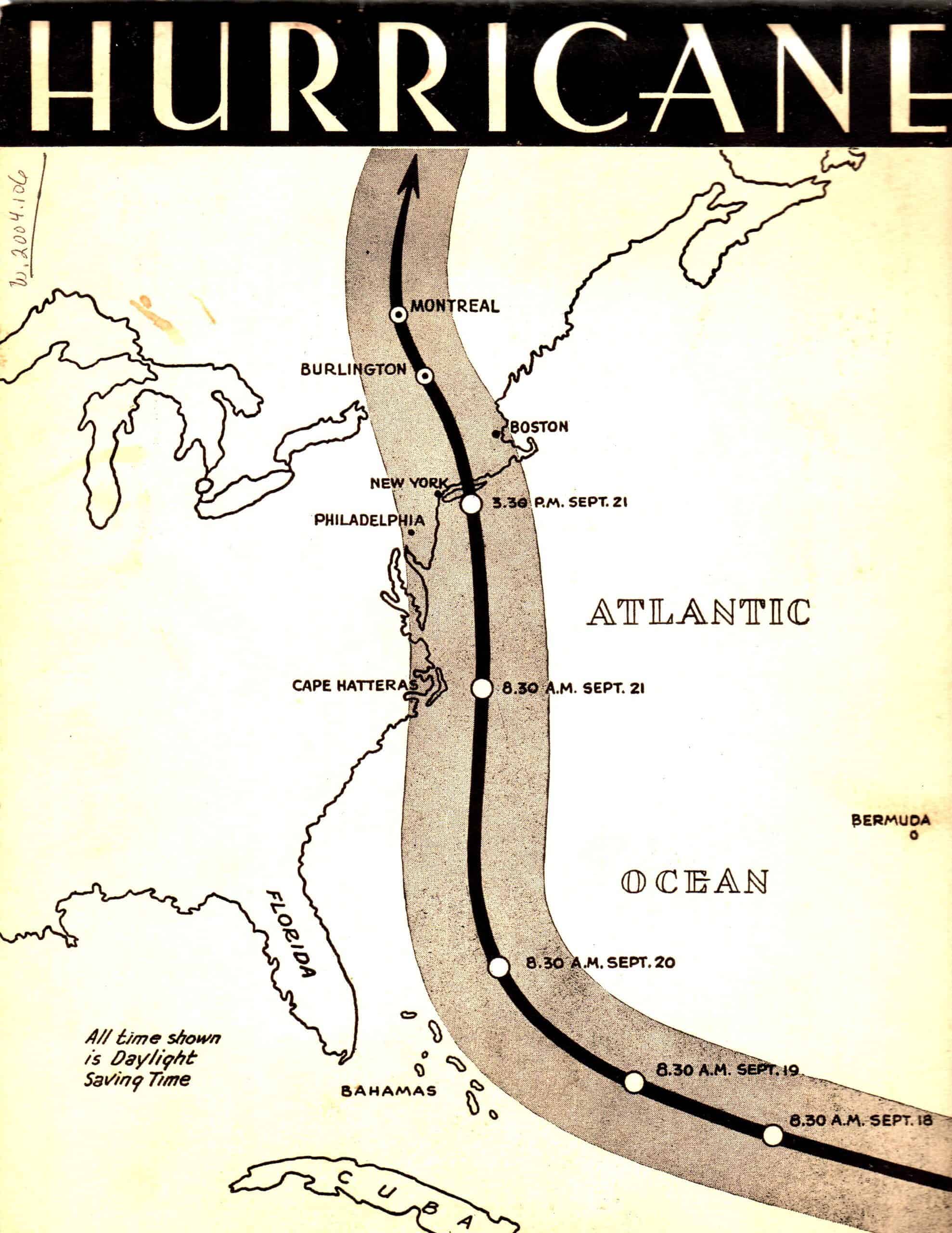
Hurricane as it may have looked from space
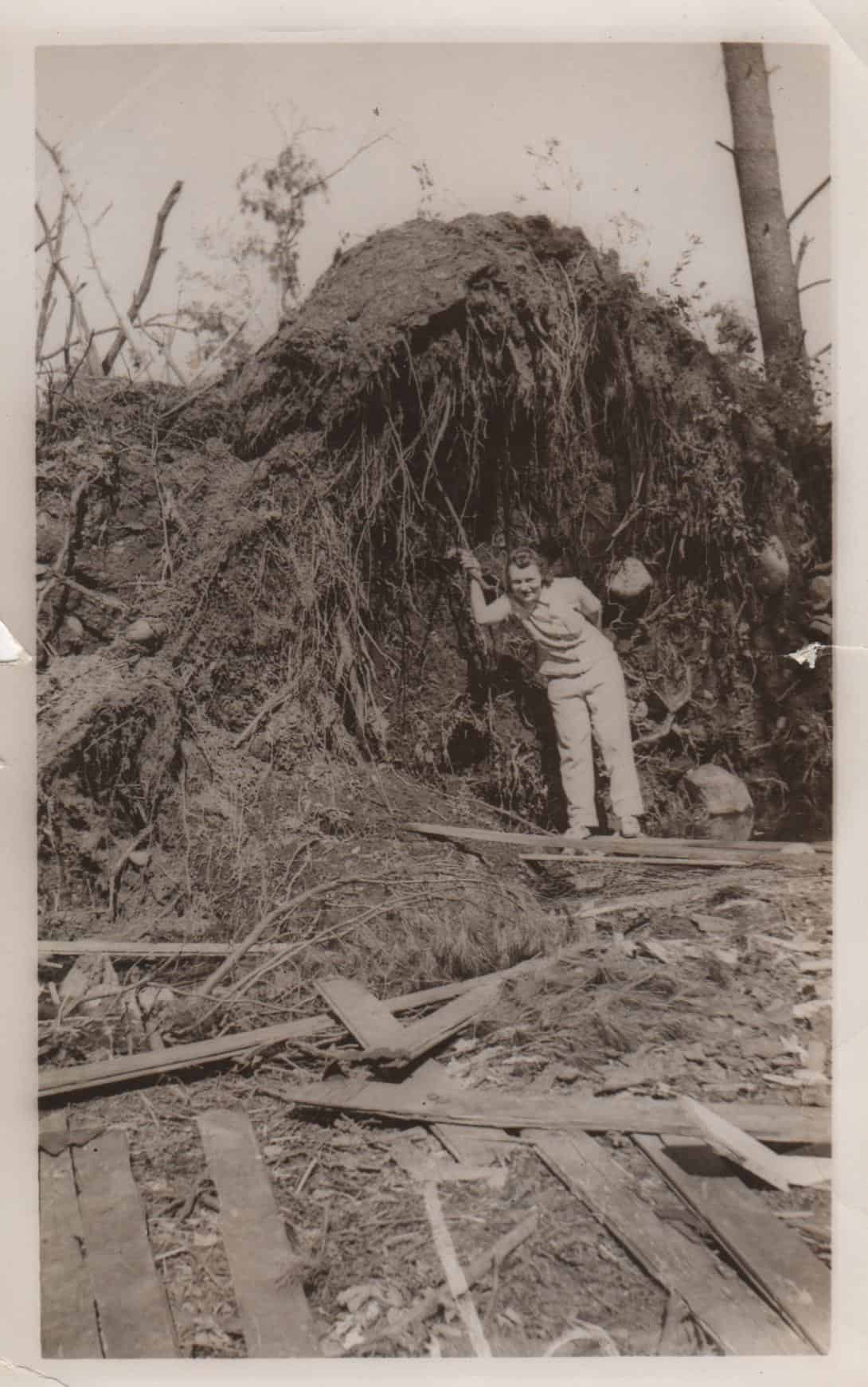
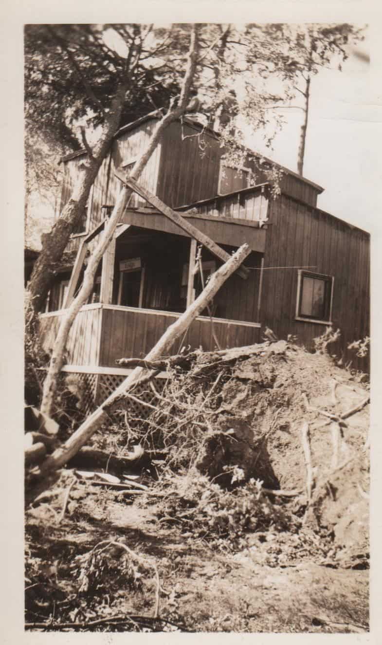
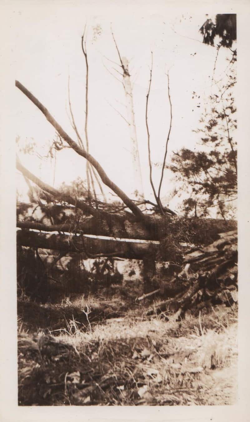
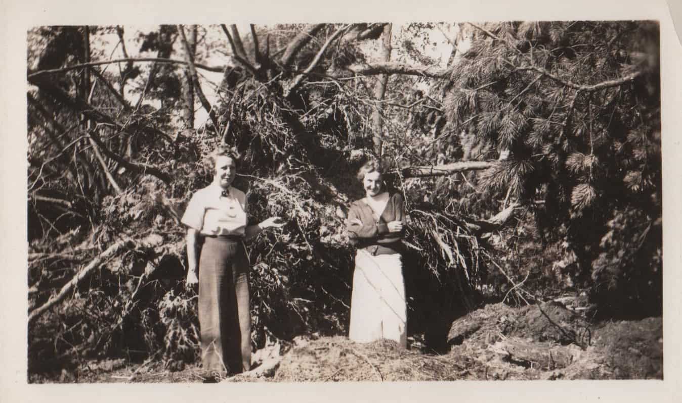
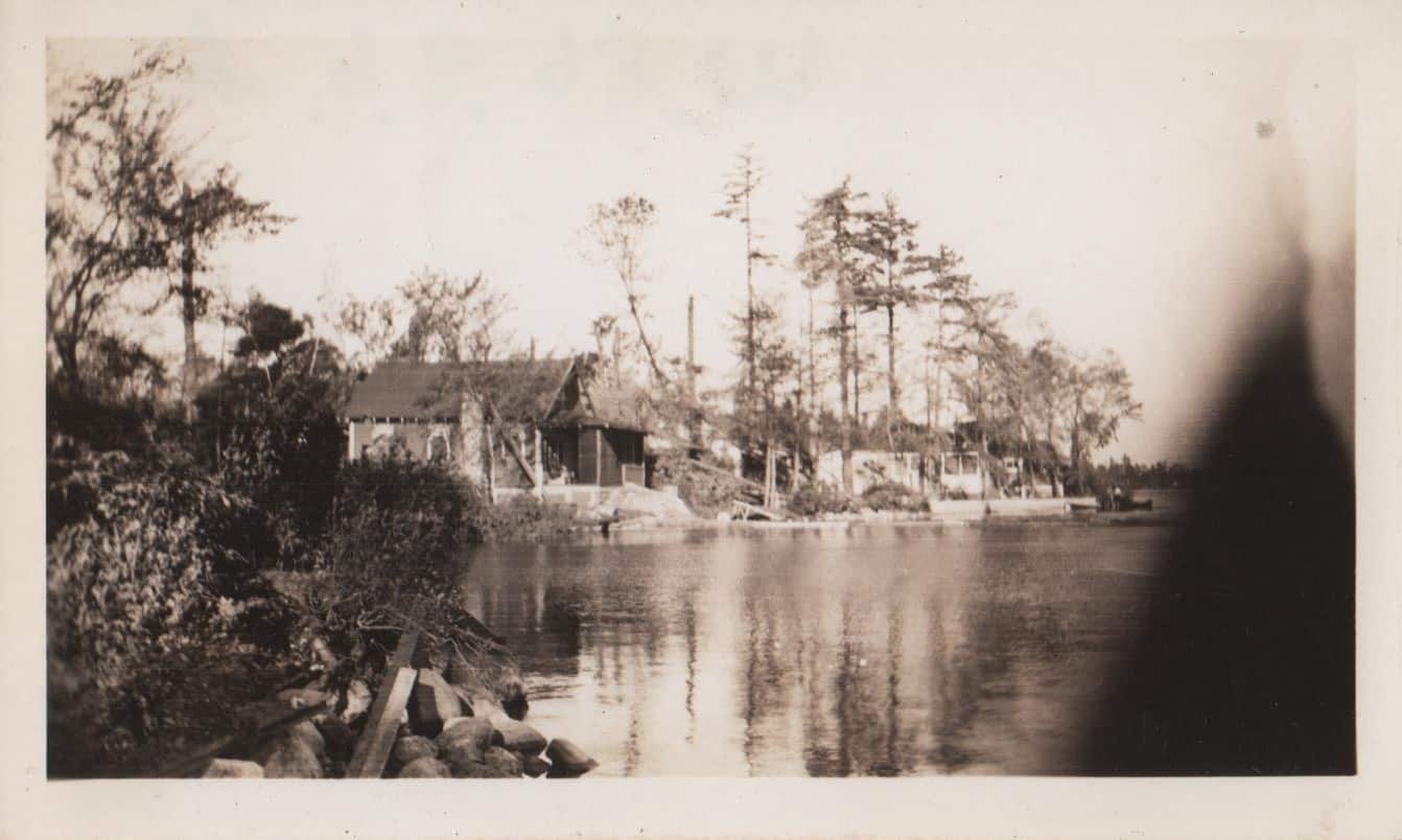
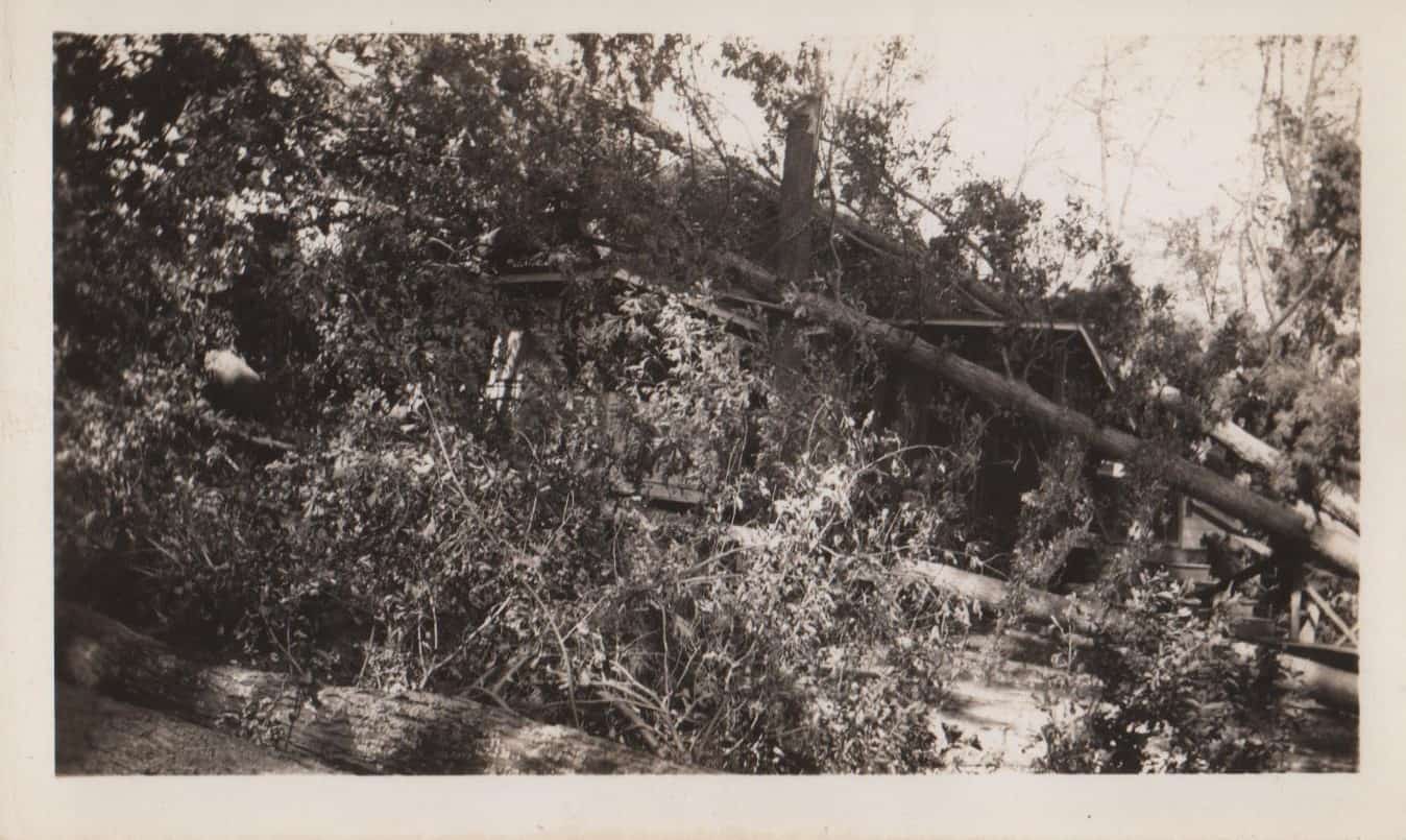
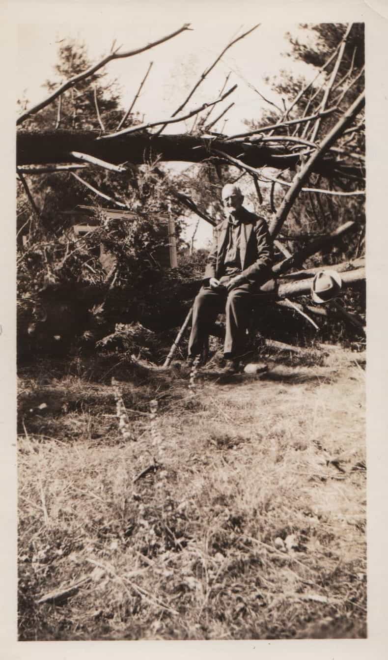
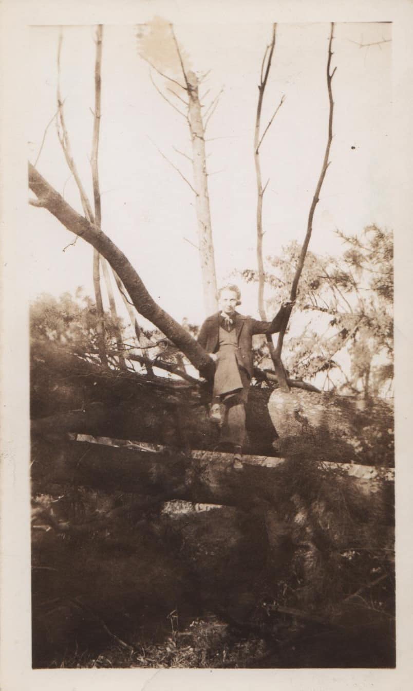
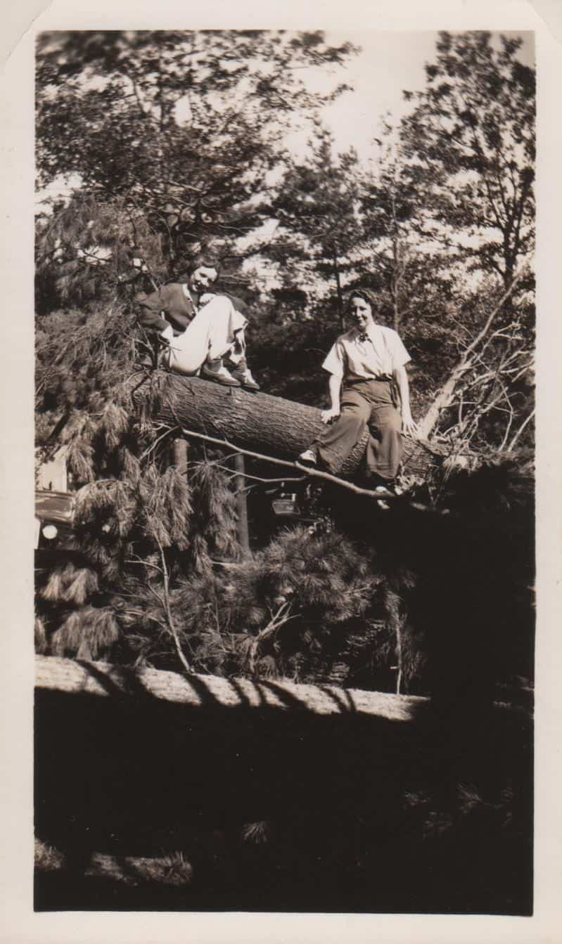
DamagesFlemmings CampOne of George’s, ruined and now ripped downPaul’s Folk’s CampOne part of shorelineJust in the woodsShoreline from Paul’sMain Camp RoadDancause’s tennis courtFrom George’s, looking at our campSmiling Mrs. Flemming, new bathroom ruinedThe main camp roadDancause’s CampGeorge himself, 84 years oldFlag poles!Taken from George’s — our camp in extreme leftNorth side of Nabnasset Lake, taken by Lilian Laidlaw of Westford W.1986.9.6
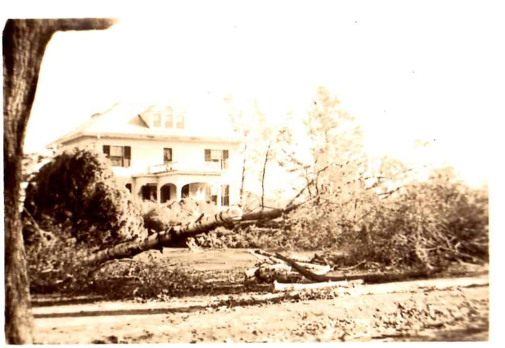
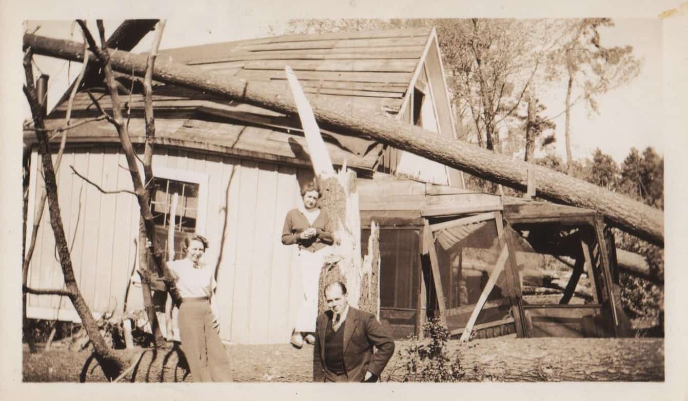
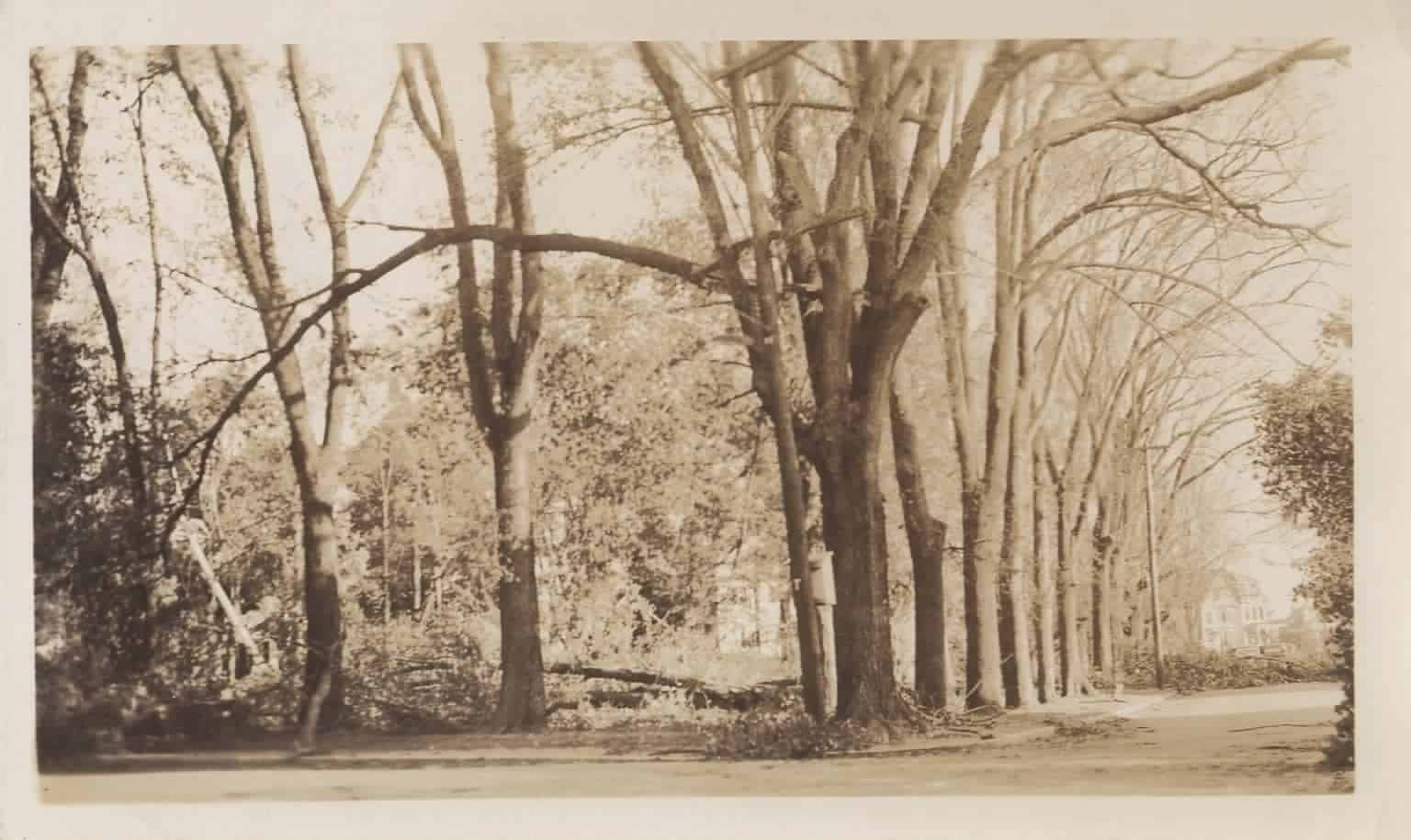
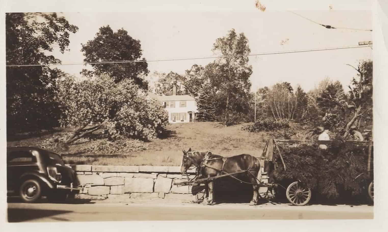
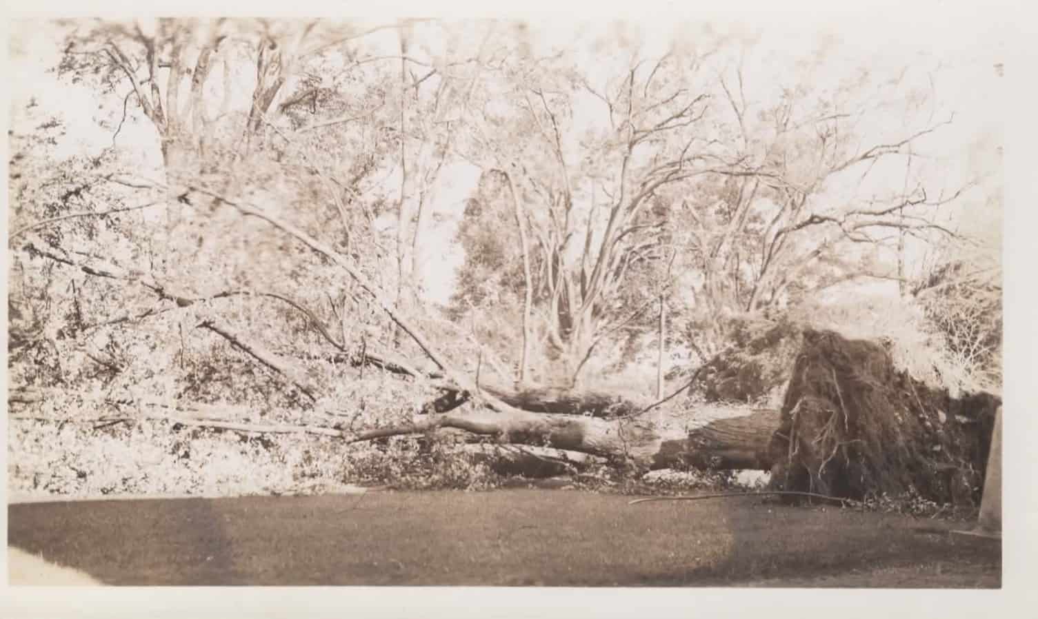
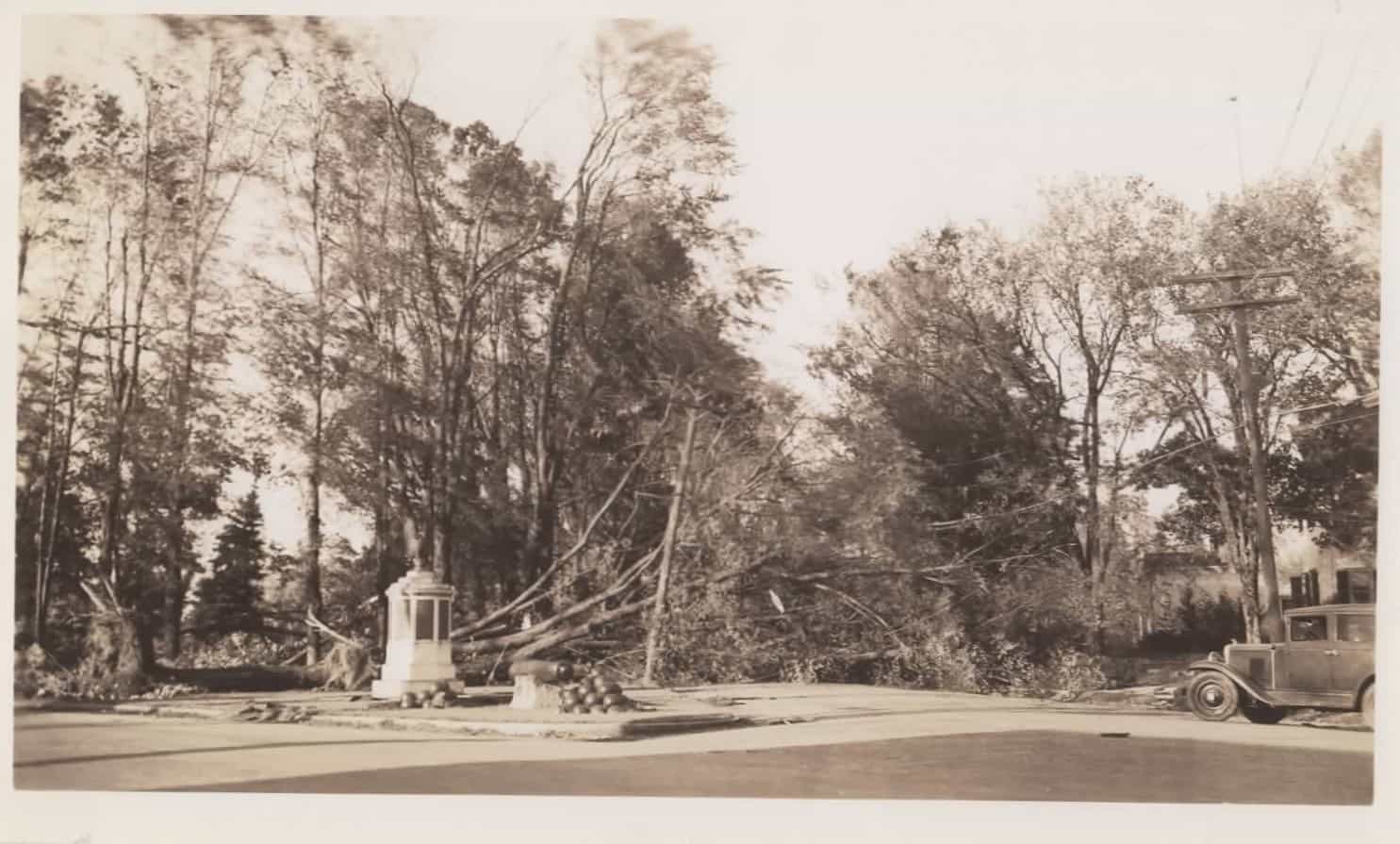
Big maple tree down by porte-cochere1Common, Lincoln St.Littleton Congregational church, steeple tiltedLambert’s houseView opposite Abbot Westford OfficeUprooted tree2Thompson’s House-Graniteville3Looking toward street from roof of porte-cochere, Belmont, MATown Hall’s tower blown offBig maple tree down by porte-cochere4Common in front of Fletcher LibraryElizabeth Carver McKay’s father standing near debris5Looking down Main St by Unitarian Church6Pine St, Forge VillageElizabeth Carver McKay Photos W.1997.39.1b
More Info 1: Elizabeth Carver McKay’s house, Belmont, MA 2: Cameron House, heavily damaged by fire in 2017 and purchased by town in 2018 3: 53 North Main St today 4: Elizabeth Carver McKay’s house, Belmont, MA 5: On lawn of their house, Belmont, MA 6. Parish Center for the Arts today
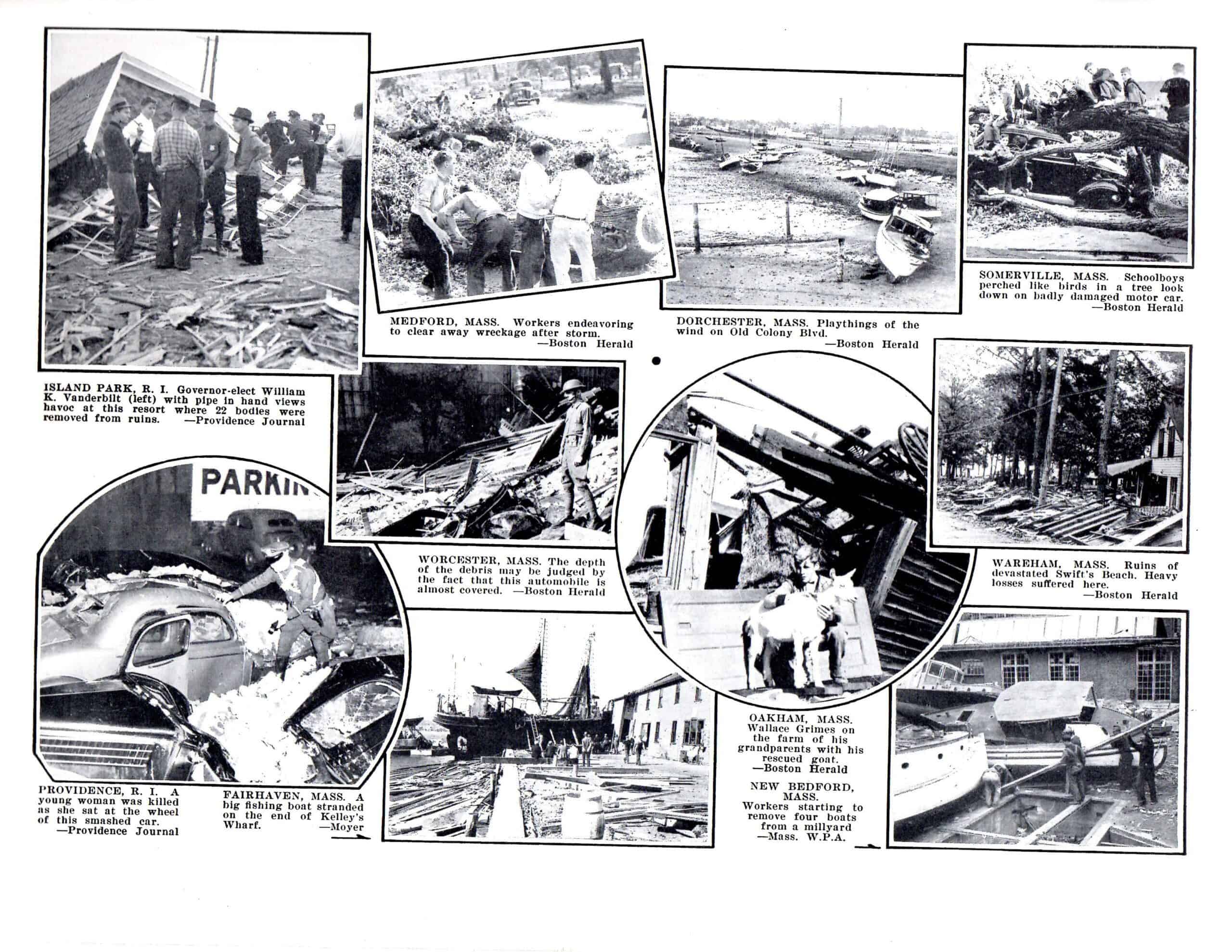
From Courier Citizen and Evening Leader, The Complete Historical Record of New England’s Stricken Area September 21, 1938, Lowell MA, 1938. W.2004.106